This is a digital item and will be sent instantly. No physical item will be shipped.
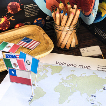
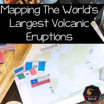
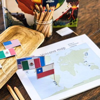
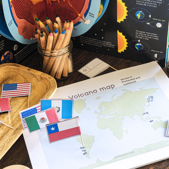
Montessori inspired volcano map activity designed to support children learning about volcanic eruptions, tectonic activity, and Earth processes.
This printable geography resource encourages children to explore the location of volcanoes around the world while developing map reading, research, and scientific vocabulary skills through hands-on learning.
Suitable for:
Montessori classrooms
homeschool geography studies
cultural studies
earth science shelves
independent work
small group lessons
Children identify and map volcanic eruption locations while developing understanding of volcanoes, plate boundaries, and how volcanic activity shapes the Earth.
Included
volcanic eruptions map activity
printable geography work
volcano research extensions
mapping activities
earth science follow up work
independent learning materials
This resource supports:
geography skills
volcano studies
map reading
tectonic plate awareness
earth science vocabulary
research skills
observation and classification
A useful extension for Montessori cultural studies, geography shelves, and earth science studies exploring volcanoes and natural processes.
Suitable for elementary learners exploring Earth science and world geography.
For all my Volcano and Earthquake resources click here
Created by Lisa, a Montessori-trained teacher, NZ registered teacher, school principal, and former homeschooler. These resources are tested with real learners, including neurodivergent children, and designed to be practical, affordable, and low-prep.
✔ Used in real Montessori and homeschool settings
✔ Designed to support independence, mixed-age learning, and neurodivergent learners