This is a digital item and will be sent instantly. No physical item will be shipped.
Do your students confuse islands, peninsulas, gulfs, lakes, rivers, valleys, canyons, deltas, isthmuses, and mountains?
Landforms can be surprisingly tricky for children because they are often taught as flat vocabulary words rather than real places children can see, compare, sort, and talk about. A peninsula and an isthmus can feel almost the same. A gulf and a bay can blur together. A valley and a canyon both go “down,” but they are not the same thing.
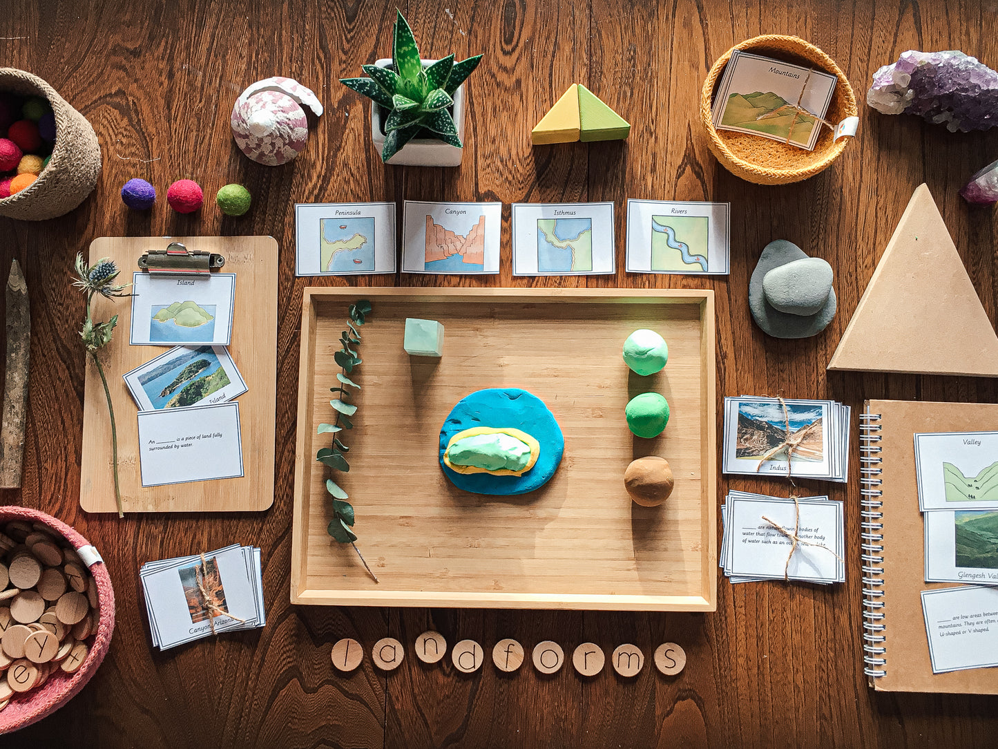
This Montessori-inspired landforms sorting activity gives children a concrete, visual way to build physical geography vocabulary without needing another long lesson from you.
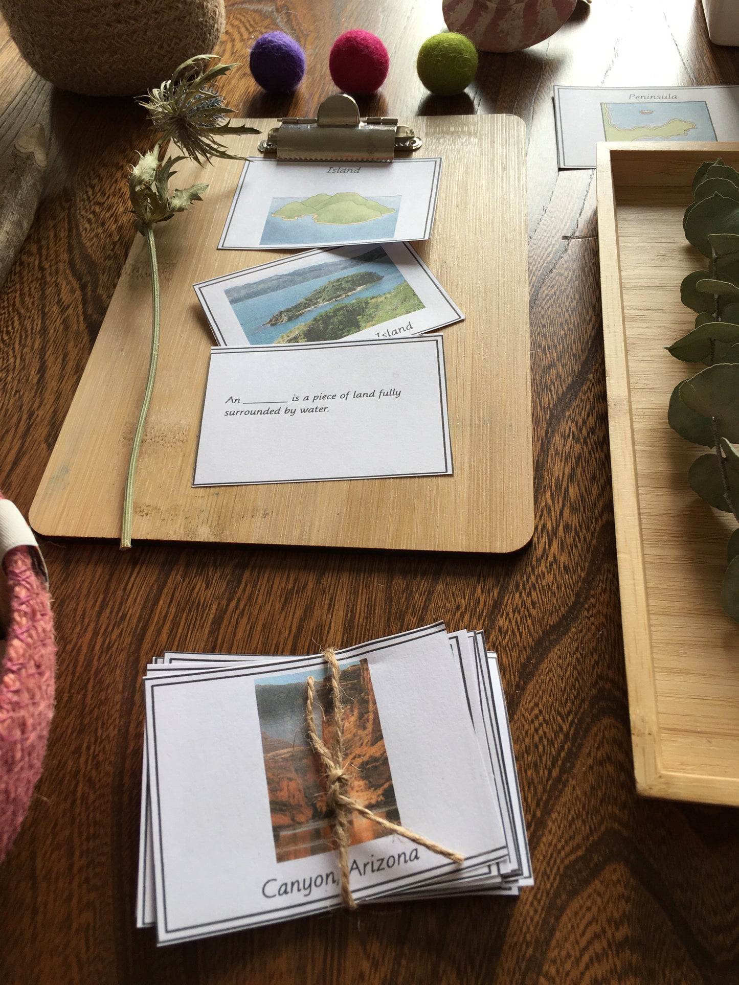
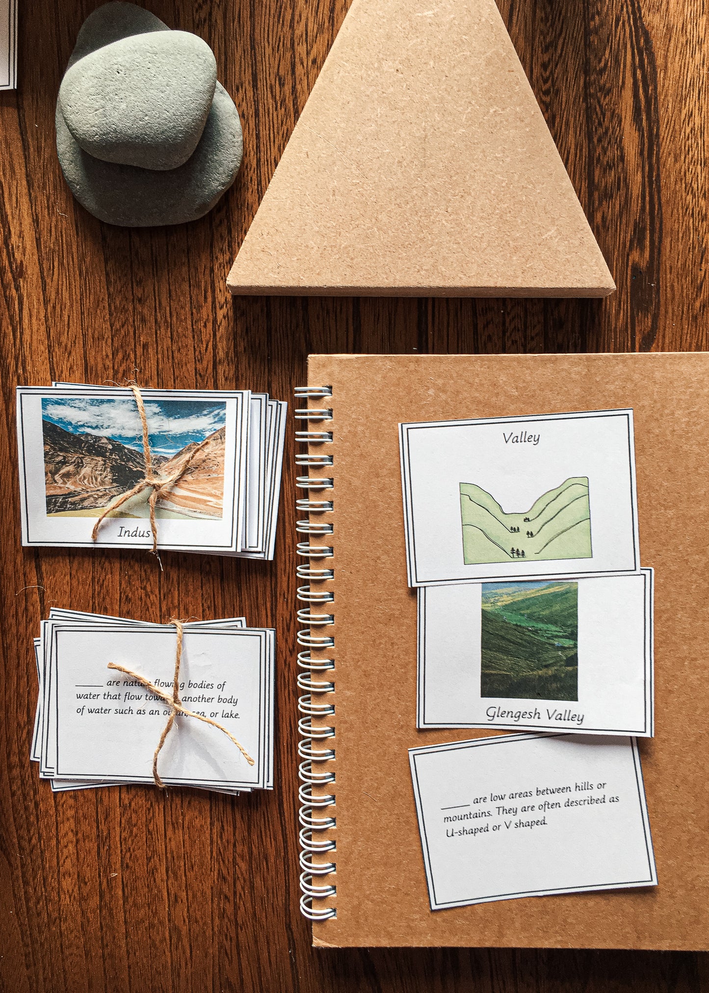
Instead of simply memorising definitions, children match each landform to a drawn landform card, real-world photo examples, and a short definition card. This helps them connect the abstract geography word to what the landform actually looks like in the real world.
It is simple, calm, hands-on, and ideal for independent geography shelf work.
What’s Included
This 23-page printable resource includes landform sorting cards for:
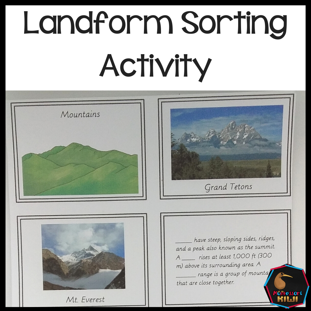
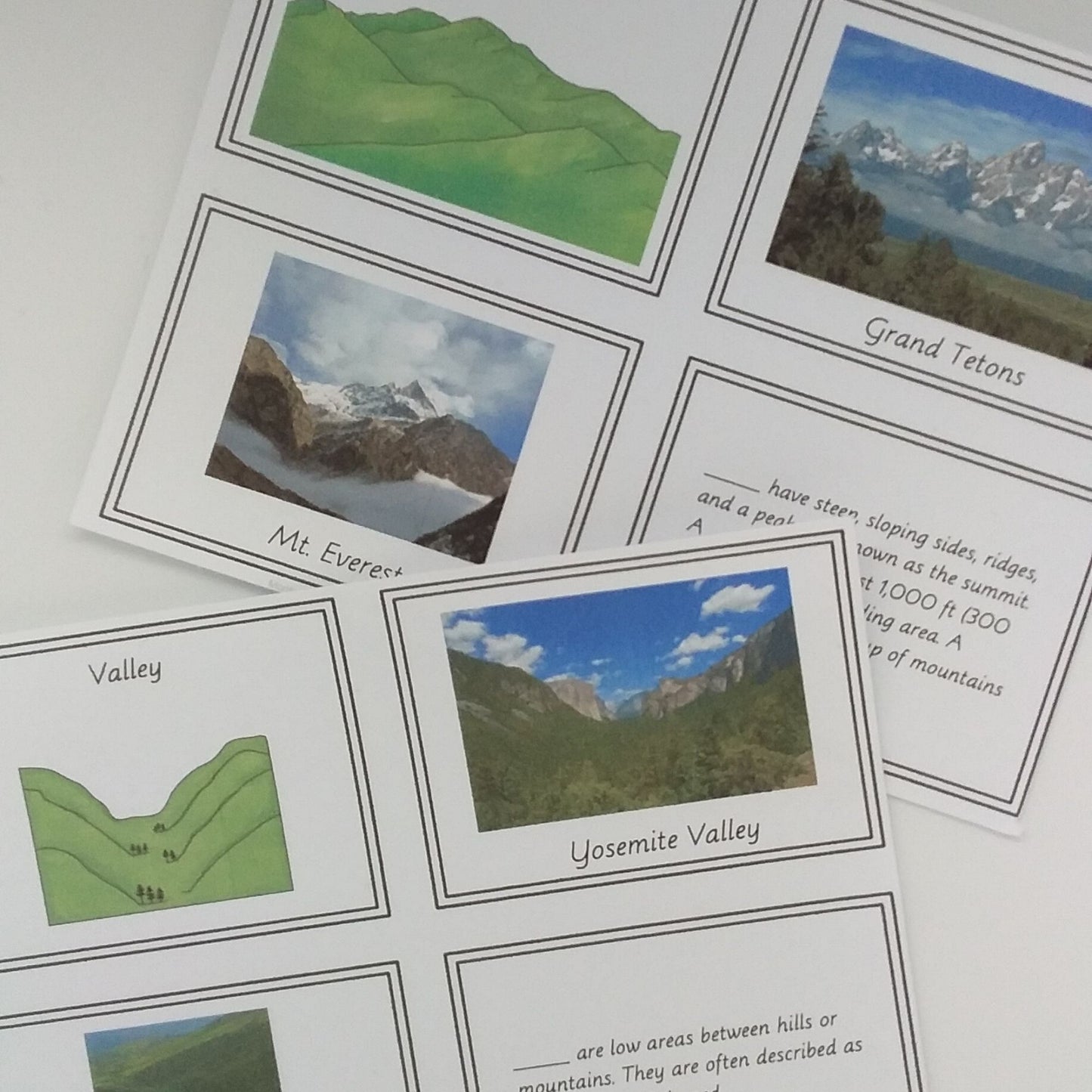
- Mountains
- Rivers
- Valleys
- Isthmus
- Peninsula
- Island
- Delta
- Gulf
- Lake
- Canyon
Each landform set includes:
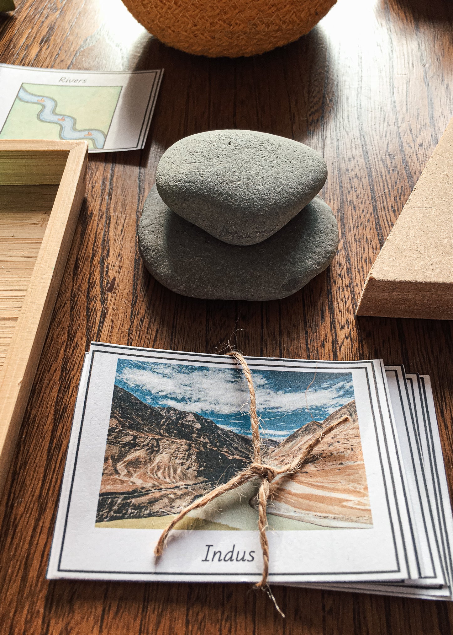
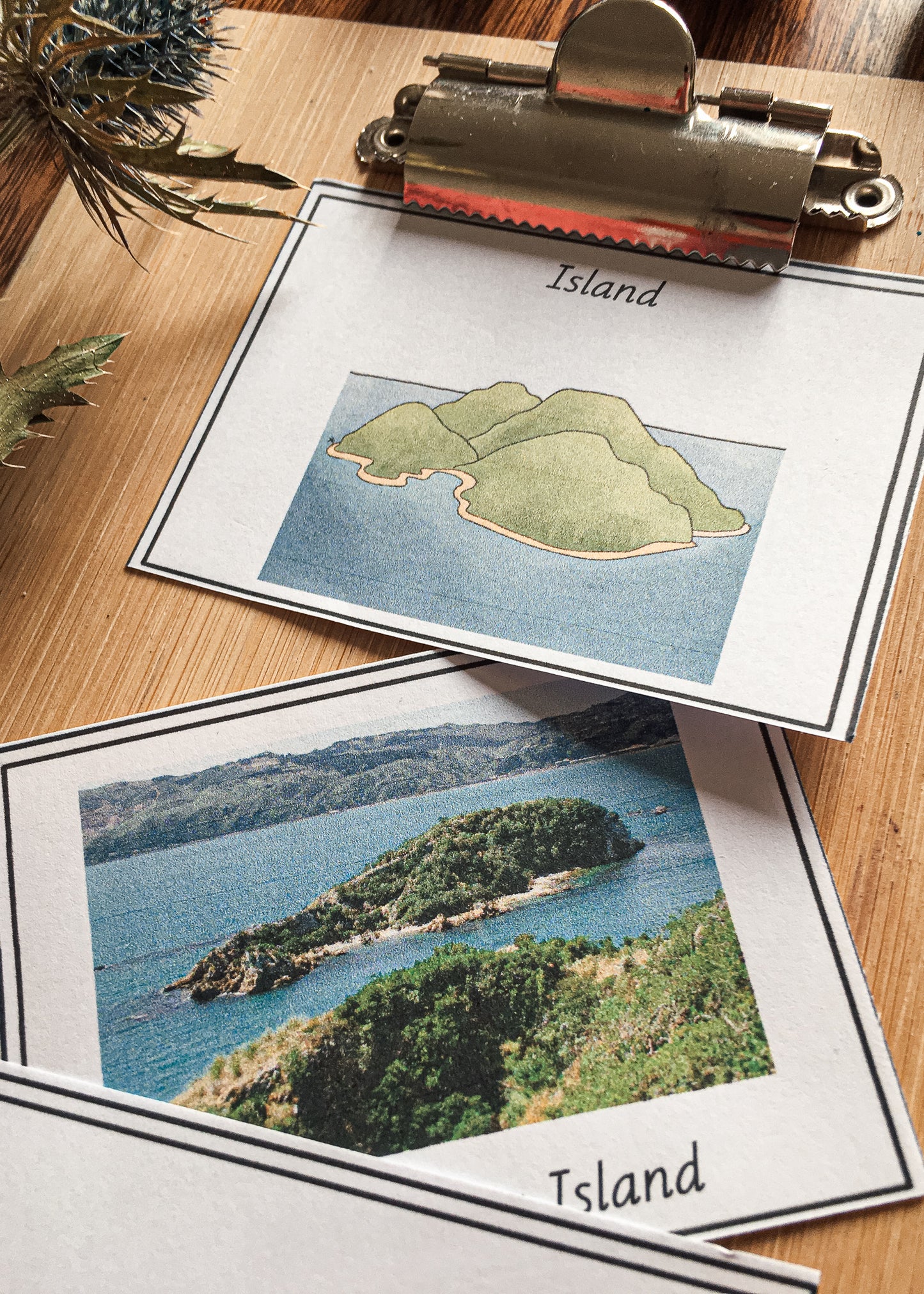
- A landform heading card with illustration
- Real-world photo example cards
- A short definition card
- Self-correction letters for the back of the cards
- Simple teacher instructions
Why This Resource Works
Many children can repeat a definition but still struggle to recognise the landform when they see it on a map, in a photo, or in the real world.
This activity solves that problem by giving children three points of connection:
- the landform name
- a visual illustration
- real-world examples and a definition
That means children are not just reading about geography — they are sorting, comparing, noticing, and building understanding through repeated hands-on work.
Because the cards can be made self-correcting, children can check their own work and build independence. This makes the resource especially useful for Montessori classrooms, homeschool shelves, geography centers, early finishers, and mixed-age environments where you need meaningful work children can use without constant adult support.
Perfect For
- Montessori geography shelves
- Physical geography lessons
- Landforms units
- Homeschool geography
- Cultural studies
- Small group work
- Independent centers
- Early finishers
- Lower elementary and upper elementary review
- Children who need visual support with vocabulary
Skills Children Practise
Children will practise:
- Identifying common landforms
- Matching landform names to images
- Reading short geography definitions
- Comparing similar landforms
- Building physical geography vocabulary
- Sorting and classifying information
- Working independently with self-correction
Use This Resource When You Need
- A ready-to-print geography center
- A calm independent activity for your Montessori shelf
- A hands-on follow-up after a landforms lesson
- A way to make geography vocabulary more visual
- A low-prep activity that children can return to again and again
- A simple extension for map work and continent studies
Teacher Prep
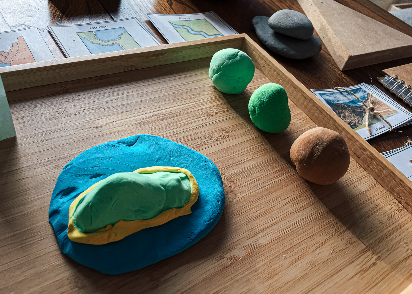
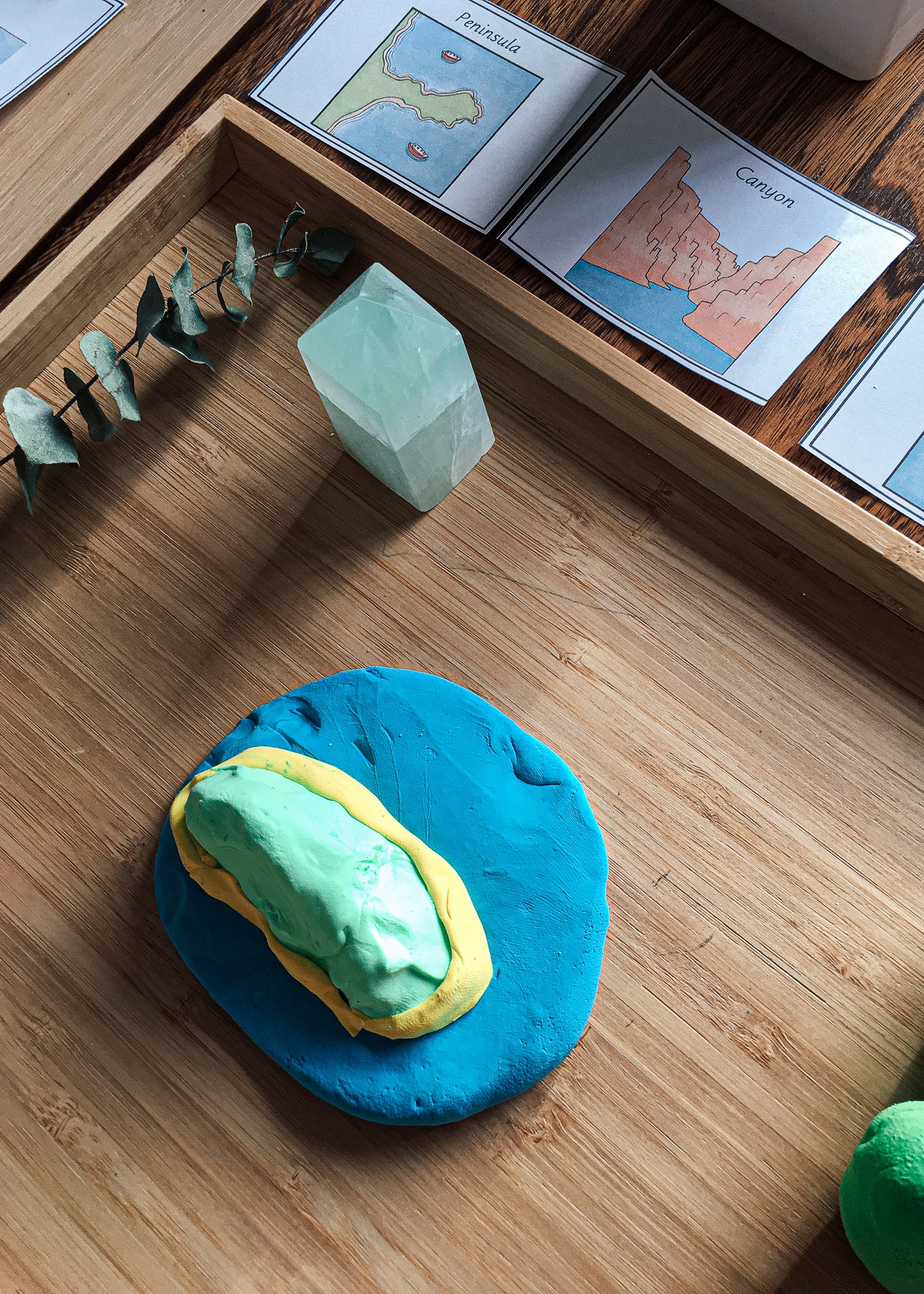
Print the cards, cut them apart, and add the self-correction letters to the back if desired. Children place the landform heading cards down, then sort the matching photo examples and definition cards underneath. When they are finished, they turn the cards over to check their work.