Create a complete Montessori geography pin map area without having to buy or prepare every continent separately.
This Montessori Pin Map Bundle helps children learn the location of countries and territories, recognise flags, identify capital cities, and connect their work to the Montessori continent colour code. It is ideal for Montessori elementary classrooms, homeschool geography, continent studies, and cosmic education shelves.
If you want up-to-date printable pin maps that are budget-friendly and easy to prepare, this bundle gives you a full set in one place.
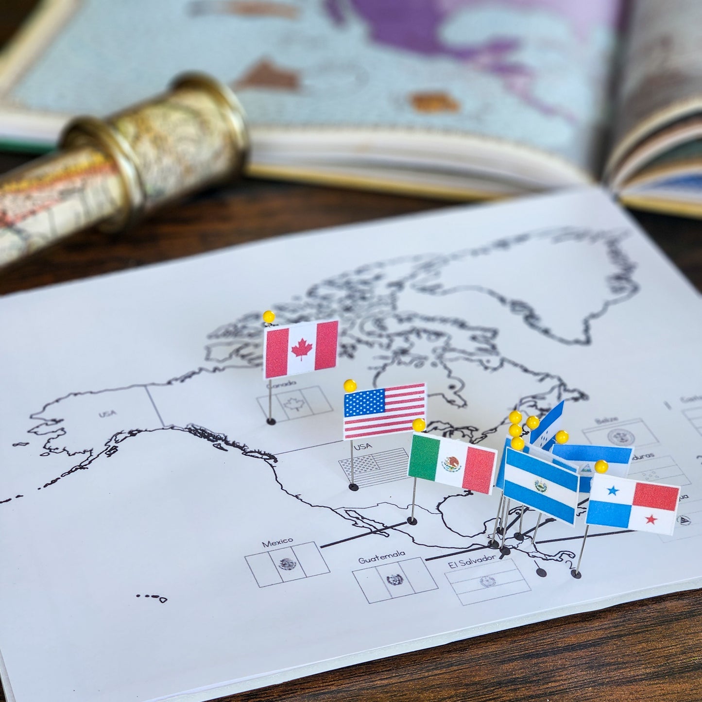
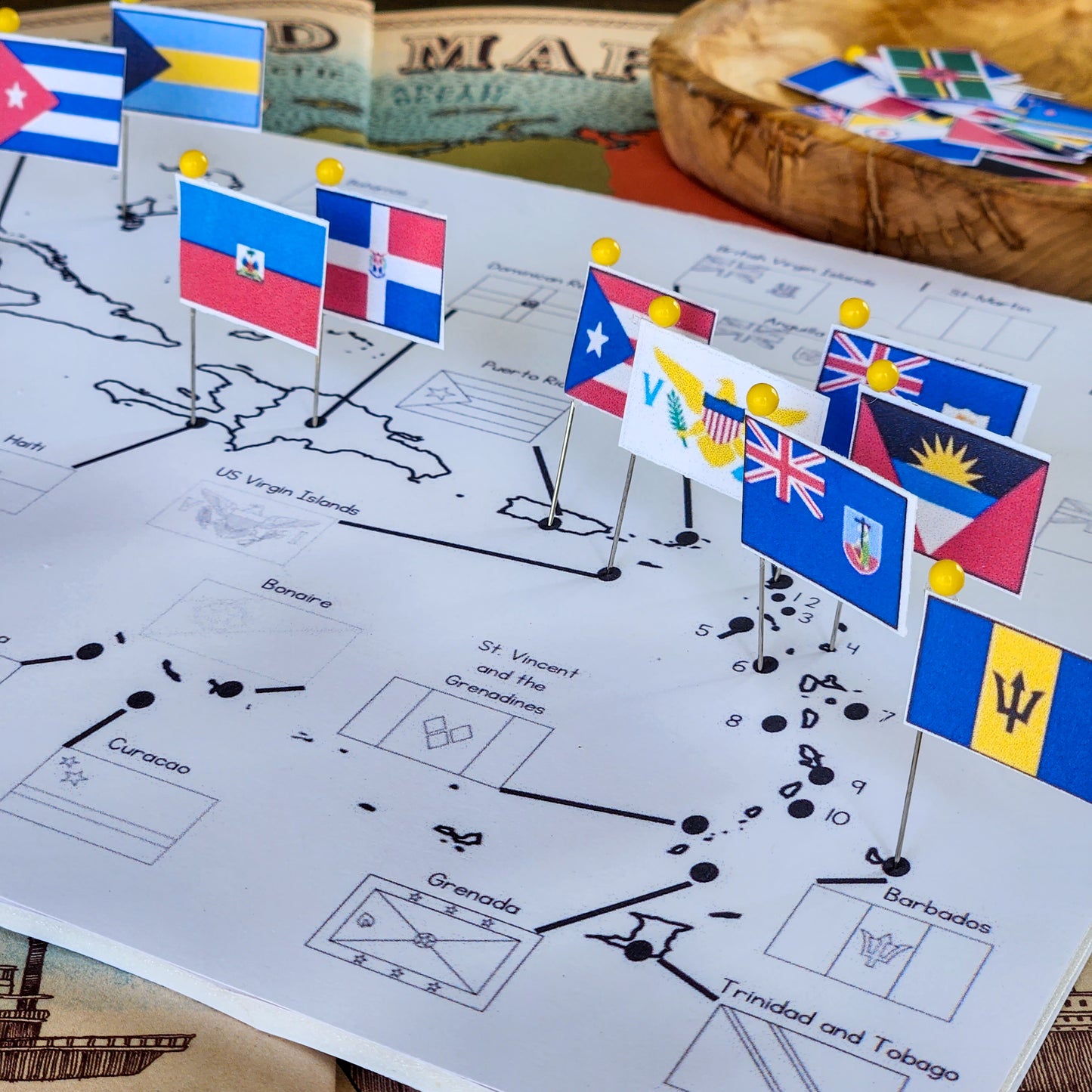
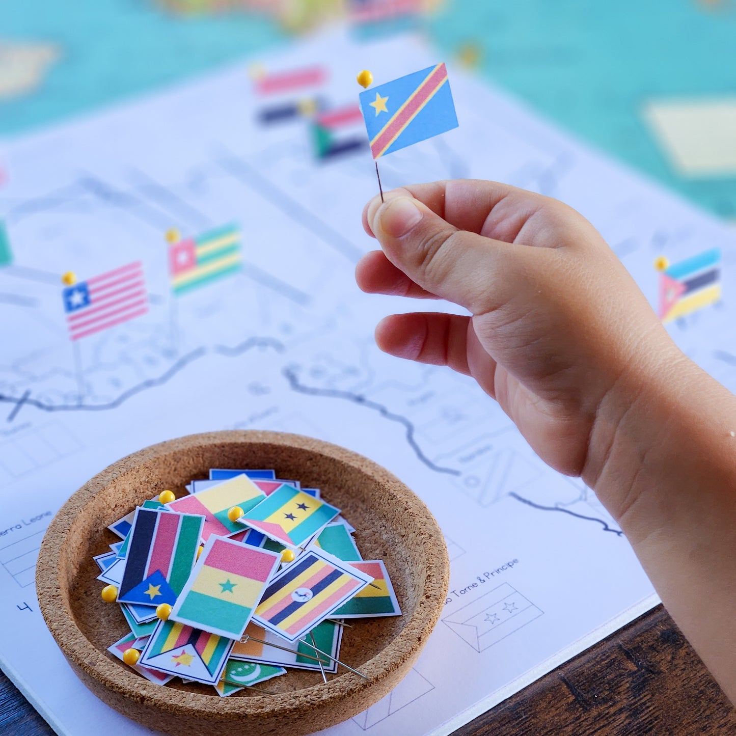
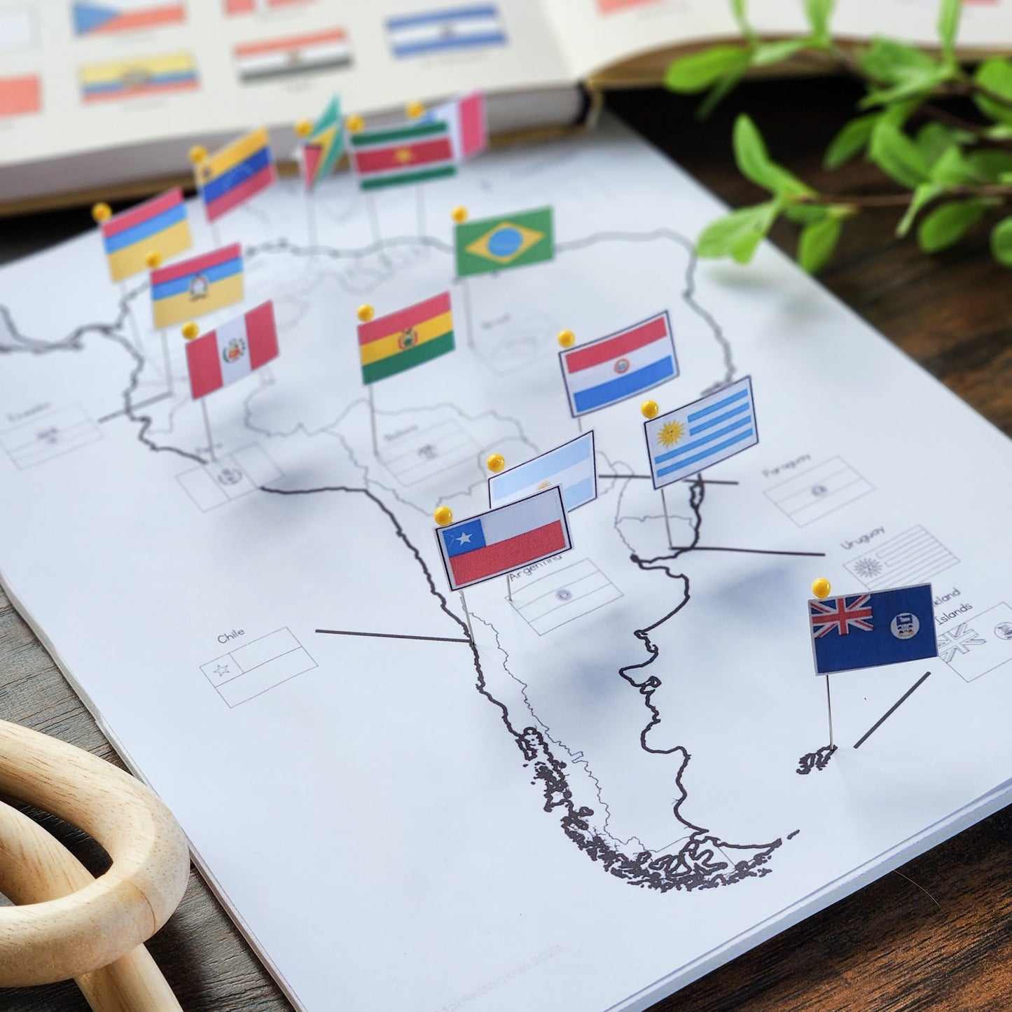
Each map includes:
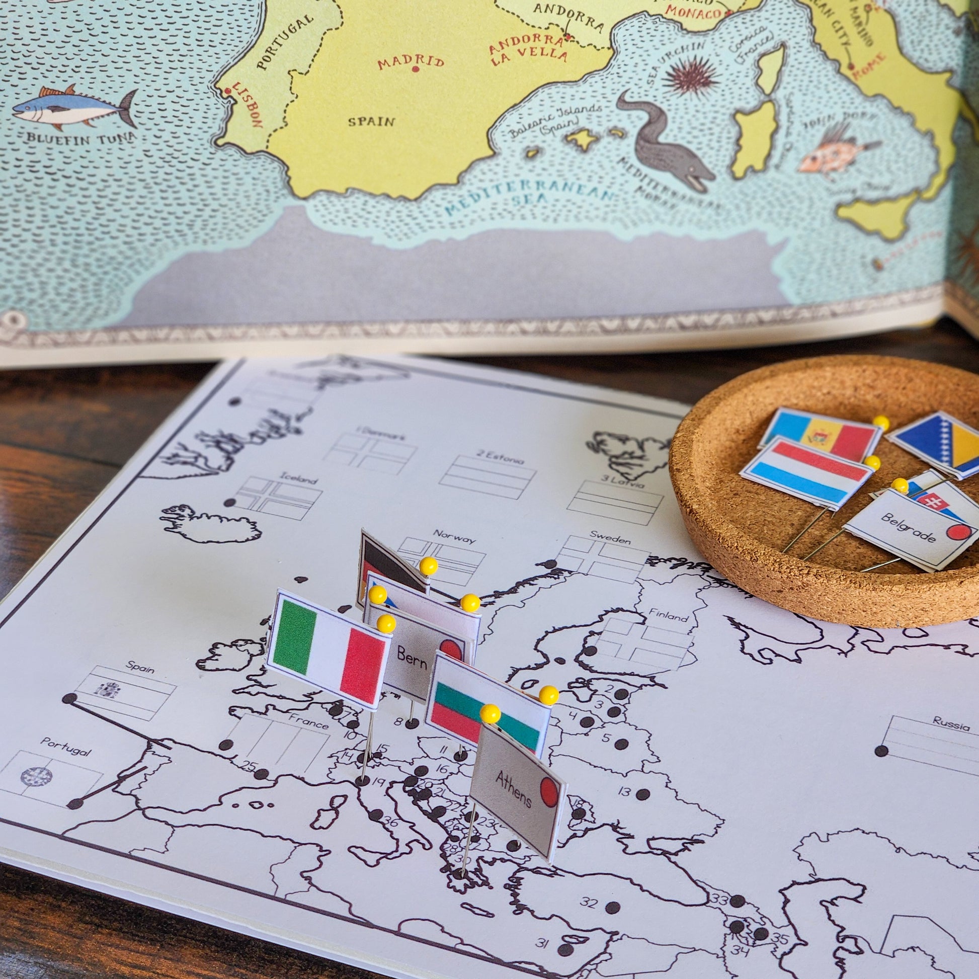
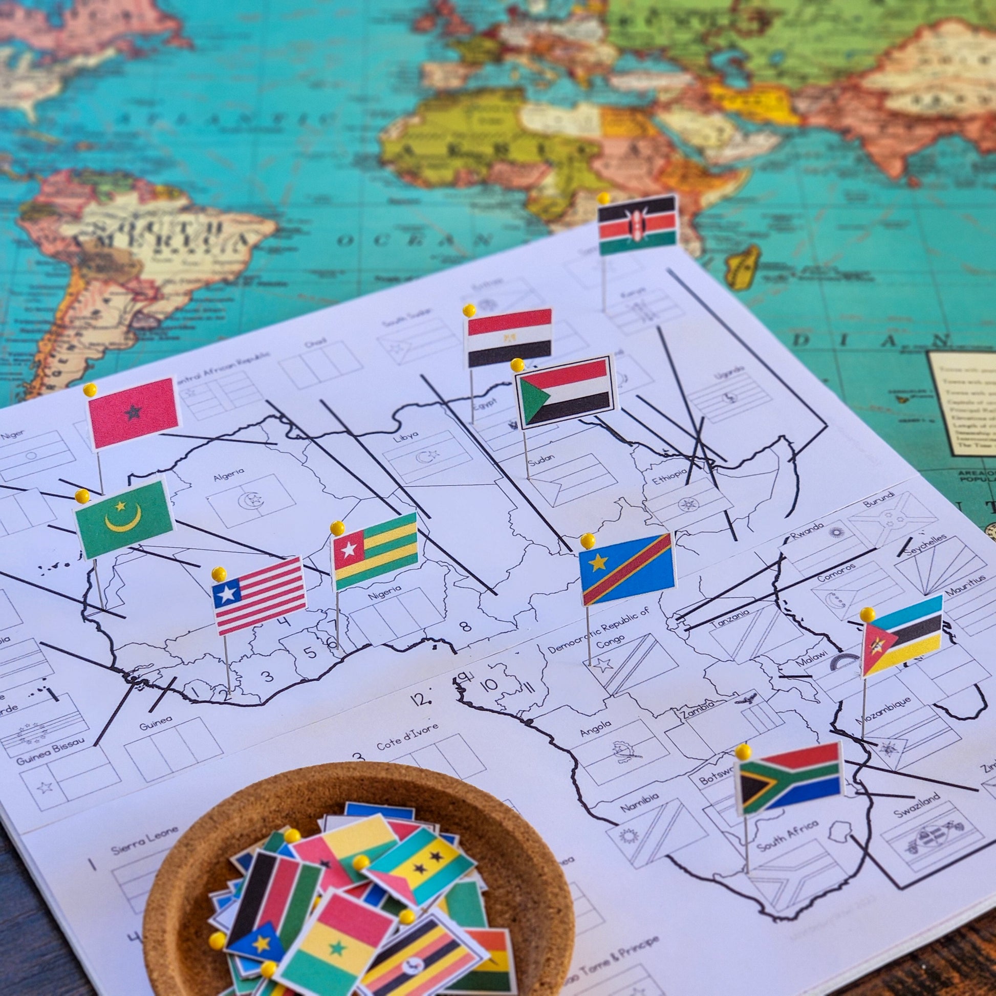
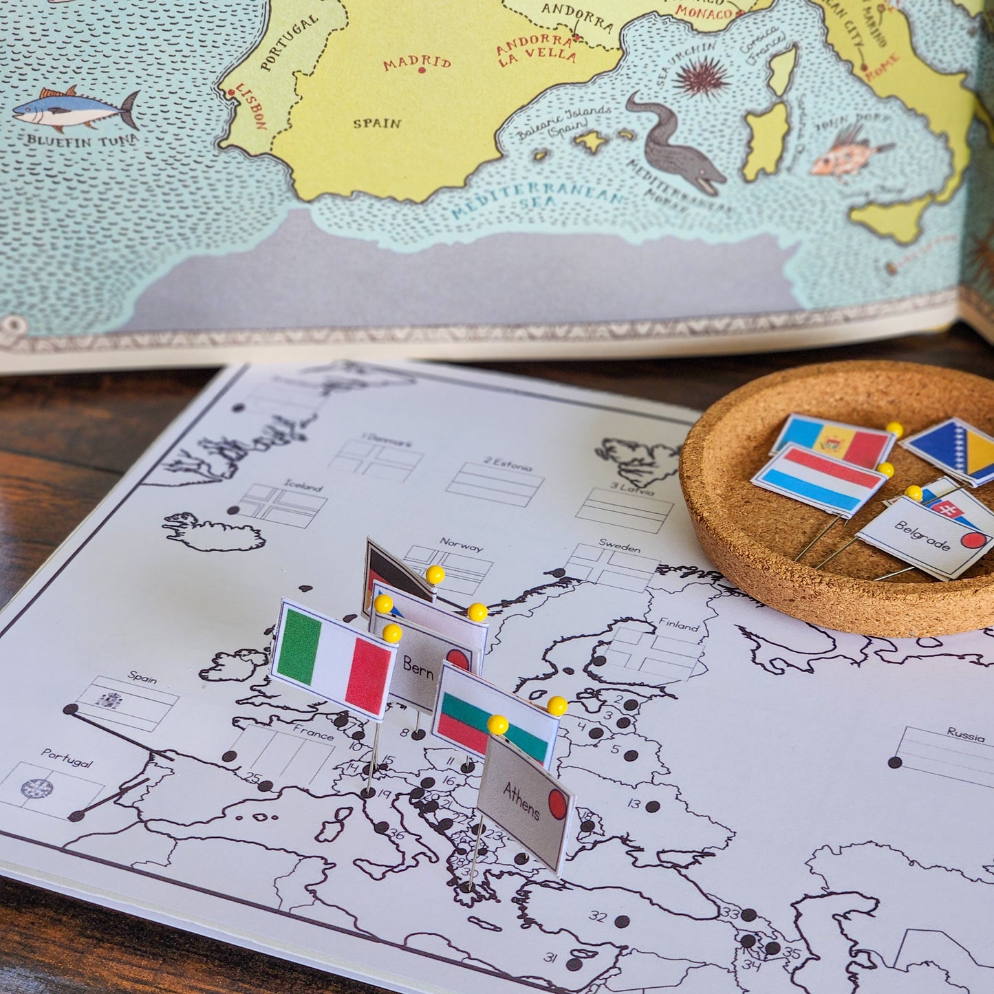
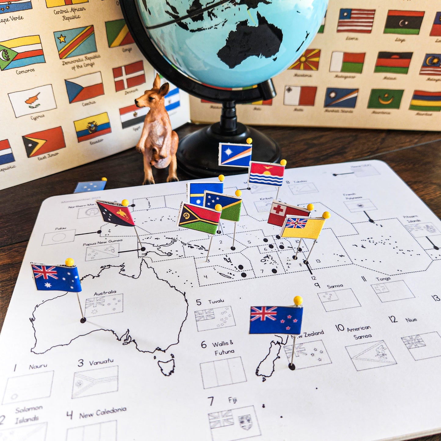
A base map with black and white flag outlines and country names
A base map with country names only
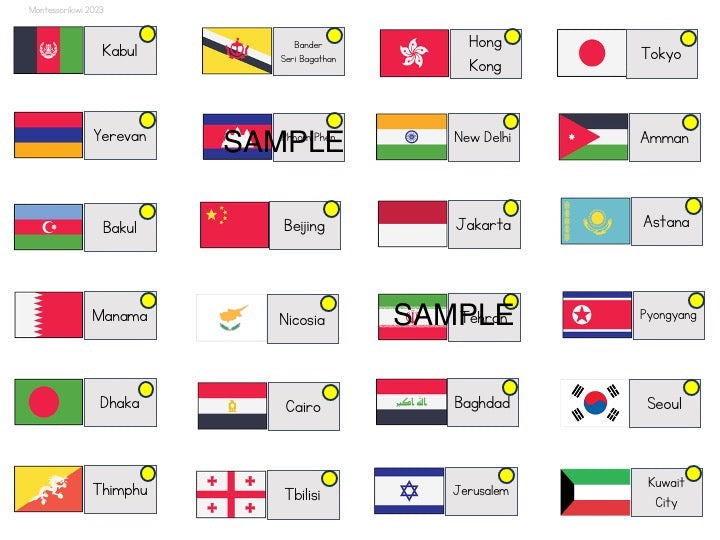
Coloured flags
Country flag on one side
Capital city name on the reverse
Montessori continent colour coding
Maps included:
North and Central America
Caribbean
Africa
South America
Europe
Asia
Oceania / Australia region, where included in the original set
Use these maps for independent geography work, continent studies, cultural research, country projects, flag work, or follow-up after Montessori geography presentations.
Please note: This is a downloadable PDF resource. No physical product will be shipped.
This is a printable that you print at your own place. No hard copy will be delivered to your home.