Let's move past the traditional Montessori puzzle maps
Share
We need to decolonise our curriculum.
If I decide to teach using the traditional series of Montessori maps including the 'Australia' map here are some questions I ask myself.
- Am I critically examining why I am teaching this? What is the purpose? Who does this teaching benefit?
- Do my maps show the borders of all countries in the world or only those deemed important when Montessori puzzle maps were first made?
- Am I teaching about indigenous cultures who have been impacted by western 'borders' that identify a country? Are my students aware that Indigenous populations may live across two or more countries, territories or states?
- Am I talking about colonisation and how the borders might be based on one culture winning a land through plundering, violence and hurt?
I endevour to teach Biome and Indigenous maps alongside the traditional maps especially for my own country. If the children in my care can understand these things about my own country then I can help them extrapolate this to other places around the world.
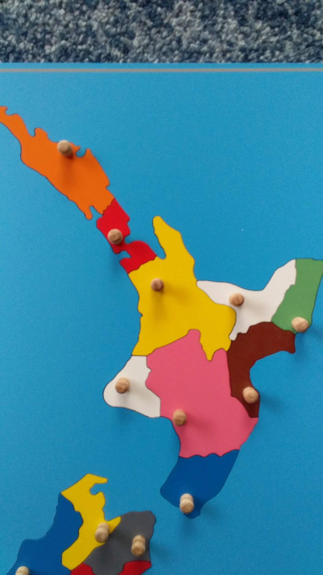
Here is an example using the North Island of A/NZ in its regions compared to Iwi of Aotearoa:


1 comment
Where can I get the NZ map wooden puzzle?